Using GPS technology, two BNZ researchers establish concrete benchmarks to obtain precise position fixes for a field location. Coupled with GIS technology, GPS can greatly facilitate mapping and research efforts as LTER Network scientists focus on broader-scale spatial phenomena, and accurate knowledge of their position on the earth’s surface becomes critical.
Using GPS technology, two BNZ researchers establish concrete benchmarks
Post date:
Nov 6, 1999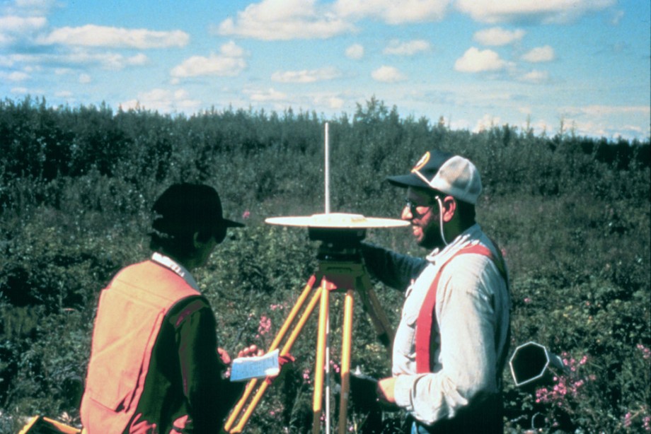
Photo courtesy of:
William K. Michener