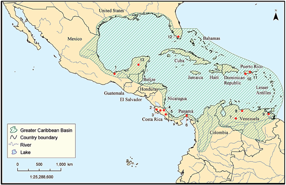
Figure 1: Several of the participants study sites are shown on this map of the Greater Caribbean Basin. Numbers in the map refer to: 1. Los Tuxtlas; 10. Guánica Forest; 11. Luquillo Experimental Forest LTER; 12. Florida Coastal Everglades LTER; 13. ECOPEY and Yucatan Project