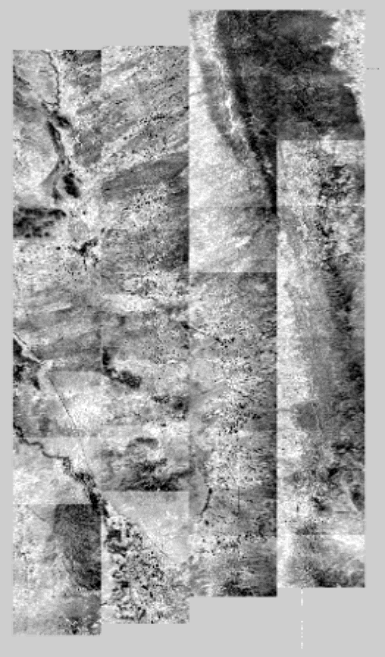
In 1997, an intensive data collection effort was conducted collaboratively among 20 agencies including Jornada LTER, Sevilleta LTER, USDA-ARS, MODIS, MISR, and ASTER personnel.
AVIRIS and Landsat TM data were acquired at both the Sevilleta and Jornada in May and TIMS was acquired at both sites in June.
The Jornada LTER’s Barabara Nolen assembled this image from thumbnails of NASA flightlines, and was key to providing assistance toimagery access, GIS support, and global positioning data. In appreciation of this support, Barbara received the 1997 Collaborator of the Year Award from the USDA’s Natural Resources Institute in Beltsville, MD..

