Figure 1: Aerial image of the GCE-LTER domain. The yellow box defines the region covered by the aerial images.
Figure 1: Aerial image of the GCE-LTER domain. The yellow box defines the region covered by the aerial images.
Post date:
Apr 18, 2005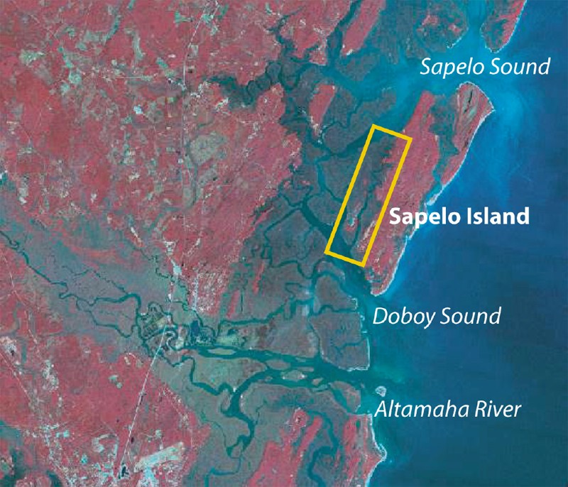
Figure 1: Aerial image of the GCE-LTER domain. The yellow box defines the region covered by the aerial images.